Center for Environmental Remote Sensing (CEReS)
Nishi-Chiba Campus
Tel:+81-43-290-3832
E-mail:rimosen [at] office.chiba-u.jp
*Please replace [at] with @ when sending an email.
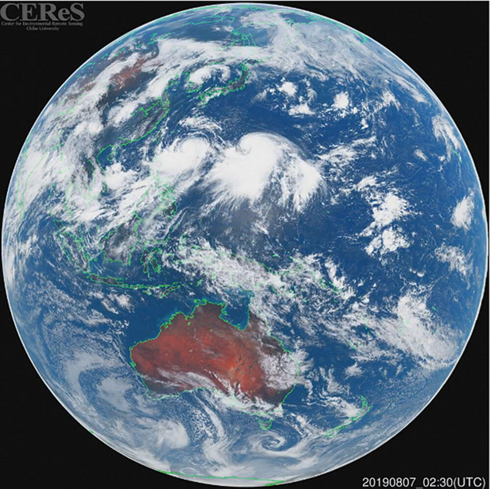
The Center for Environmental Remote Sensing (CEReS), established in 1995, conducts researches on remote sensing science and technology, applying remote sensing to various environmental problems including climate change. Its research activities are categorized into three programs; (1) Innovation in remote sensing technology and algorithms, (2) Integrated use of geo-information, and (3) Advanced application of satellite remote sensing. CEReS largely contributes to the research community by providing satellite data (e.g., Himawari-8), ground observation data (e.g., SKYNET), and geospatial data (e.g., CEReS Gaia). CEReS is a nationwide and worldwide research organization in remote sensing studies. In 2010 MEXT (Ministry of Education, Culture, Sports, Science, and Technology) authorized CEReS as one of the Joint Usage/ Research Centers (JURC) for promoting the field of environmental remote sensing. It is recognized as an "Asian Hub of remote sensing" through active joint researches and frequent exchange of researchers and students.
